Bicycle Tour: Cape Cod 2025, Day Three
I visited Highland Light and explored roads in the vicinity.
Friday, September 5, 2025, was the third day of my tour of Cape Cod. (For the second day of this tour, see Cape Cod 2025, Day Two). I continued camping at North of Highland Camping Area for the third day.
I slept for seven hours and woke at 6:00 a.m. A little rain started at 6:00 a.m., with a rainbow at sunrise; the rain was intermittent until 7:40 a.m.
I depleted a power bank by charging my phone, watch, and bike lights. I recharged the power bank in the campground’s recreation room using a 5-watt charger; this took 6.5 hours.
I walked from the campground to Highland Light.
At Highland Light, I took the tour given by volunteers. I climbed to the top and chatted with the volunteer.
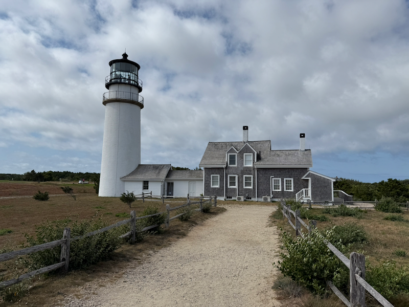 Highland Light viewed from the beach
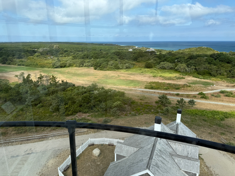 View looking northwest from Highland Light
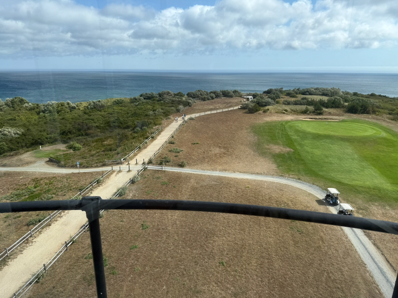 View looking northeast from Highland Light
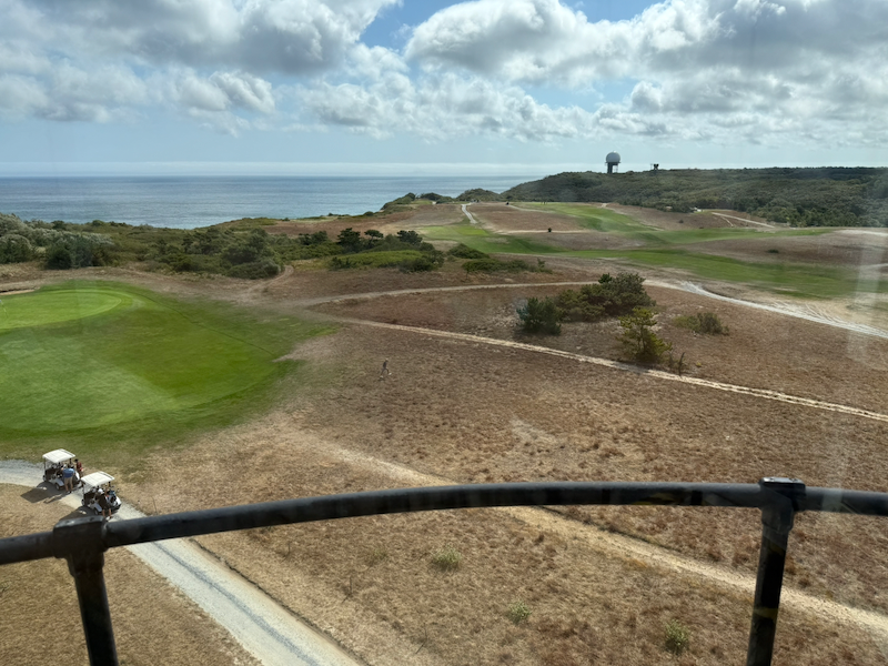 View looking southeast from Highland Light
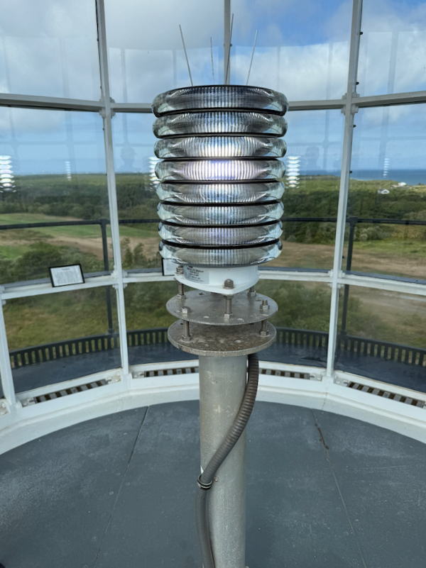 LED bulb in Highland Light
I explored the wetu, a traditional Wampanoag dwelling, installed in front of the Highland House Museum.
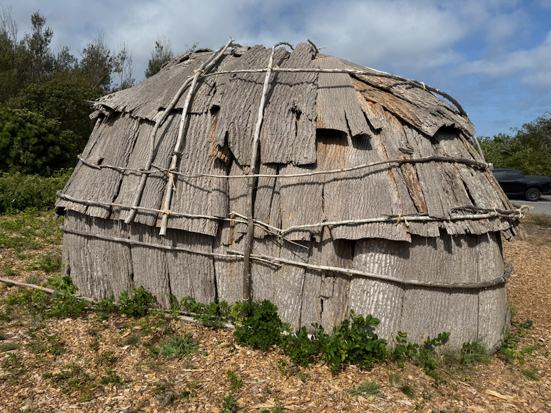 Exterior of Wampanoag wetu at Highland House Museum
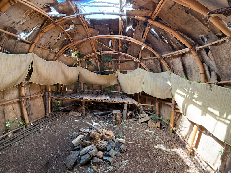 Rear interior of Wampanoag wetu at Highland House Museum
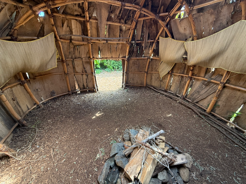 Front interior of Wampanoag wetu at Highland House Museum
After visiting Highland Light, I walked to Salty Market in North Truro for a chicken salad sandwich and two sesame seed bagels. I returned to the campground via the path next to Adventure Bound Camping Resorts. My total walking distance was 5.45 miles.
I took a 90-minute nap from 12:30 to 2:00 p.m. The weather was 76 °F and sunny with a breeze.
After my nap, I rode 11.44 miles exploring the area and scouting the early part of my route to Nickerson State Park.
As part of the ride, I followed the East Coast Greenway route south on South Highland Road to its intersection with Route 6. I sat on my bike for a few minutes as I watched the intimidating, high speed traffic on Route 6. I decided I didn’t want to ride that way when I headed to Nickerson State Park on Sunday because of the difficulty of crossing Route 6 there safely. My best alternative was to ride west on Highland Road, which passes under Route 6, to Route 6A and take that south to Route 6.
I rode Old Kings Highway south from Old Dewline Road to Longbrook Road. Old Kings Highway proved to be a sandy, unpaved, single lane road through the dune forest. I had to walk a section of it where the sand was too soft to ride. This was not a good alternative route going south.
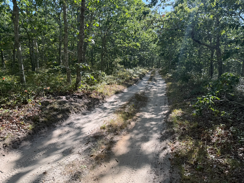 Old Kings Highway
In the evening I walked from the campground to Head of the Meadow Beach to watch the moonrise. The ocean was very calm. Returning back to my campsite completed 1.6 miles of walking.
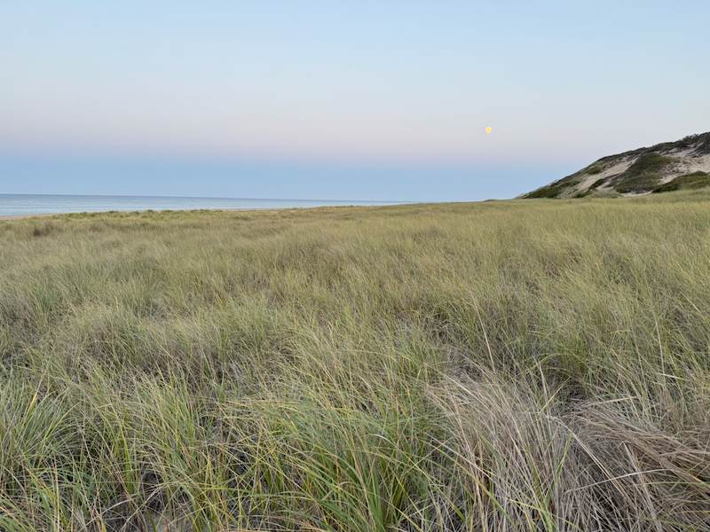 Moonrise over Head of the Meadow Beach
For the fourth day of this eight-day tour, see Cape Cod 2025, Day Four.