Camping: White Mountains 2026, Day Six
Today I did a quick bicycle ride in Franconia Notch State Park before driving home.
Friday, August 28, 2026, was the last of six days of camping at Lafayette Place Campground in Franconia Notch State Park in the White Mountains in New Hampshire.
Today I rode my bicycle to the north end of the recreation path before packing up and driving home.
For the previous day of this six-day camping trip, see White Mountains 2026, Day Five.
Camping Activities
I got up at 5:30 a.m. when the sky was just becoming light. It was going to be a beautiful day. To stretch my legs, I walked all campground loop roads from 5:40 a.m. to 6:15 a.m.
I began packing while eating breakfast.
Bicycle Ride
For my last ride of this trip, I rode north on the Franconia Notch Recreation Path to the northern terminus at Skookumchuck Trailhead. This route had become very familiar to me since the beginning of this trip.
I took photos on the ride back to the campground.
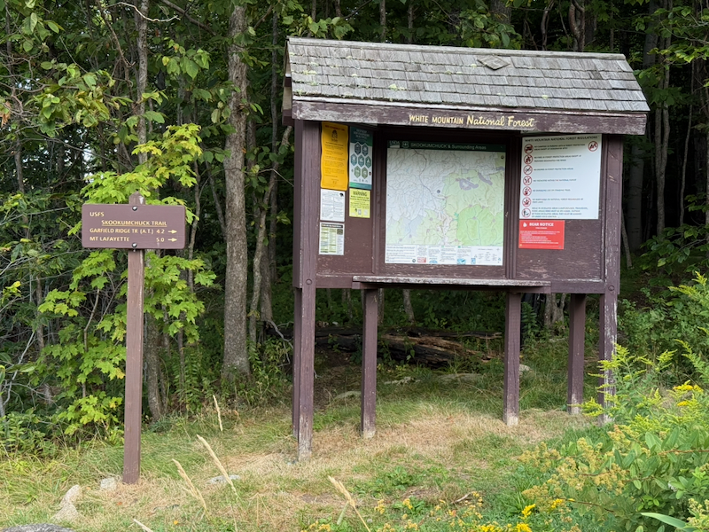 Skookumchuck Trailhead
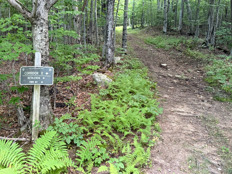 Corridor 11 Trail, a Snowmobile Road, 0.26 Mile South of Skookumchuck Trailhead
The grassy wayside shown below, 0.86 mile from the north end of the recreation path, made me imagine waysides like this spaced at twenty-kilometer intervals along bicycle trails in North America where touring bicyclists and hikers could camp. Each wayside would provide water, sanitary facilities, and electricity. Twenty kilometers is a good daily distance for hikers. Perhaps undeveloped waysides could be provided at five-kilometer intervals.
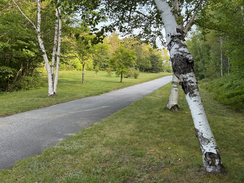 Grassy Wayside
The photo below shows what a cluster of tents at such a wayside might look like (these were tents I photographed in Lafayette Place Campground).
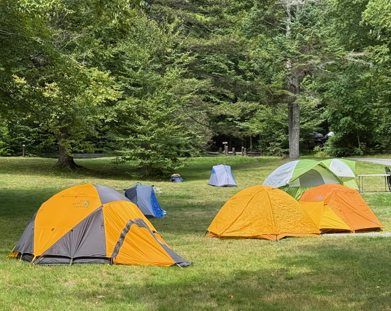 Cluster of Tents
I took more photos while riding south back to the campground. The old highway bridge, now blocked from automobile traffic, is part of the recreation path where it crosses Lafayette Brook.
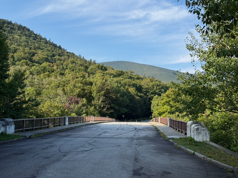 Old Highway Bridge with Mt. Lafayette in the Background
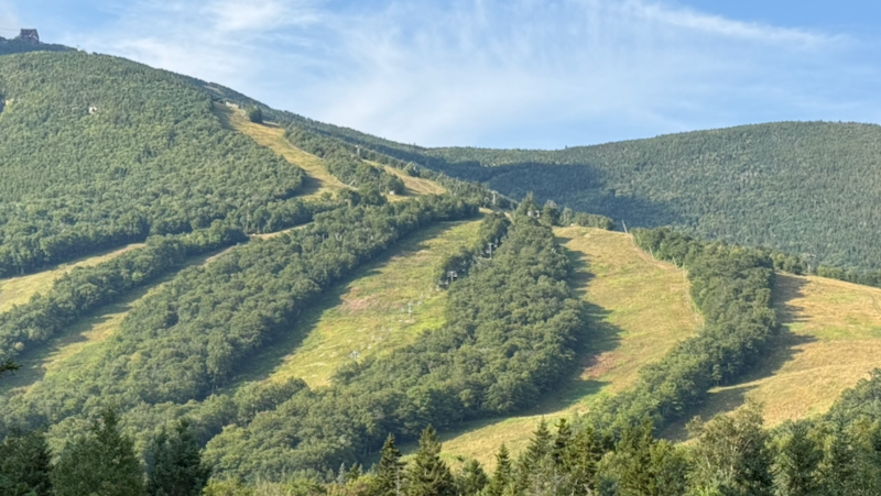 Ski Trails and Chairlift Near Echo Lake
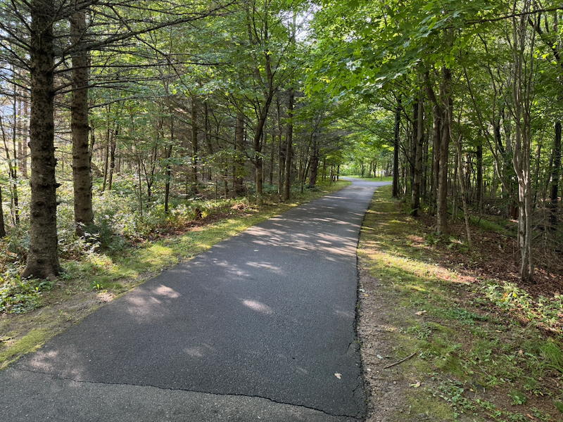 Recreation Path Just South of Echo Lake
I arrived back at my campsite at 9:08 a.m. after riding 10.72 hilly miles.
Drive Home
The day was warm and sunny. I finished packing and left at 10:45 a.m., fifteen minutes before check-out time at 11:00 a.m. The drive was simple: I got on I-93 and drove to Somerville, Massachusetts, where I exited I-93. I got home at 1:15 p.m.