Camping: White Mountains 2026, Day Four
Today I hiked and bicycled in Franconia Notch State Park.
Wednesday, August 26, 2026, was the fourth of six days of camping at Lafayette Place Campground in Franconia Notch State Park in the White Mountains in New Hampshire. Today I hiked and bicycled in Franconia Notch State Park.
For the previous day of this six-day camping trip, see White Mountains 2026, Day Three.
Camping Notes
When I got up at 12:30 a.m., the moon was shining brightly. I could find Lyra, Cygnus, and Cassiopeia, but I couldn’t find Polaris and the Little Dipper. None of my astronomy apps on my phone would work because I did not have a cell signal.
I slept well until 6:00 a.m., with no noisy neighbors. The campground was only about a third full, pretty surprising for late August with nice weather. Tired of driving after the past three days, I did not drive today.
Hike in Franconia Notch
In the morning, I left for a nearly six-hour hike, starting with a climb up the Lonesome Lake Trail from Lafayette Place Campground to the AMC Lonesome Lake hut on the Appalachian Trail (AT). In the White Mountains, the individual trails that coincide with the AT have their own names. I continued southeast down the Cascade Brook Trail (AT) to the Basin of the Pemigewasset River. I turned north on the Pemi Trail back to the campground for a total recorded distance of 8.53 miles.
I left my campsite at 8:00 a.m. to climb the Lonesome Lake Trail from the campground to Lonesome Lake and the AMC hut on the AT.
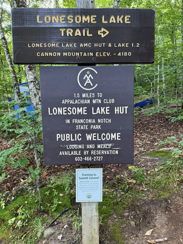 Lonesome Lake Trailhead in Lafayette Place Campground
After hiking 0.7 mile, I branched left at the junction with the Hi-Cannon Trail, continuing on the Lonesome Lake Trail.
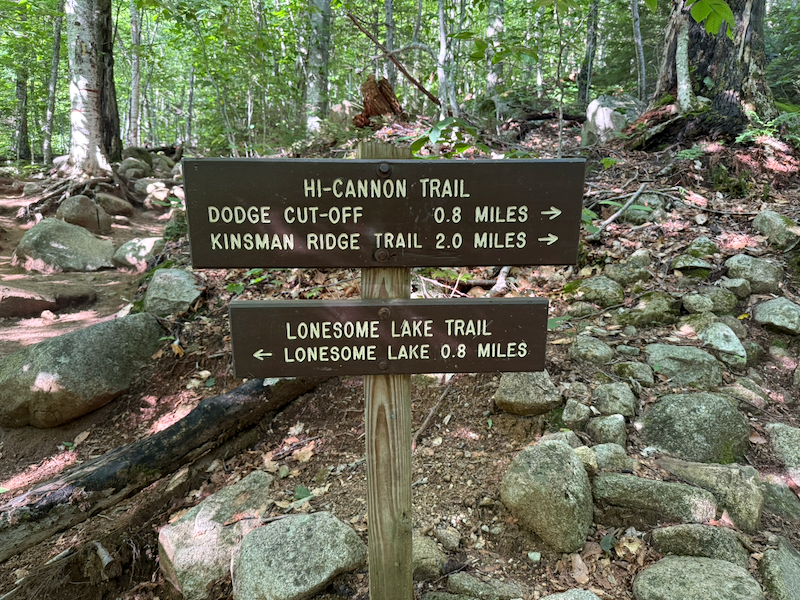 Junction of Lonesome Lake Trail with Hi-Cannon Trail
The total climb to the lake and hut was about 900 feet, starting at about 1,800 ft and climbing to 2,700 feet. The trail was very steep and rocky in places.
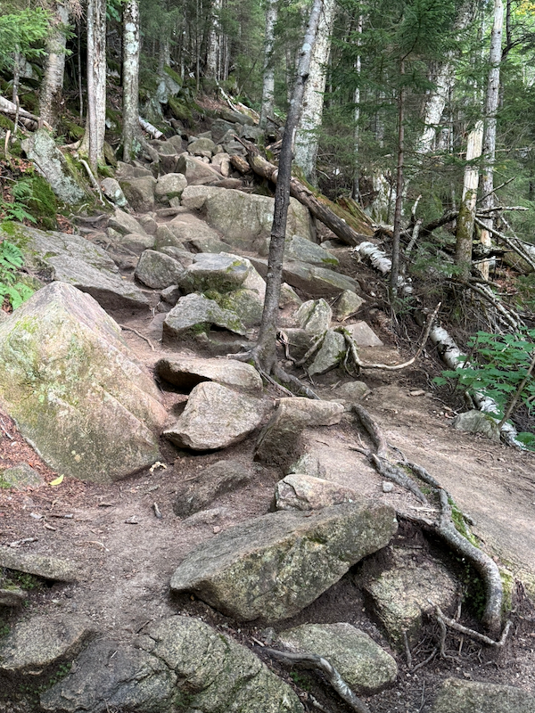 Lonesome Lake Trail
The day was cloudy, so Lonesome Lake was gray and uninviting.
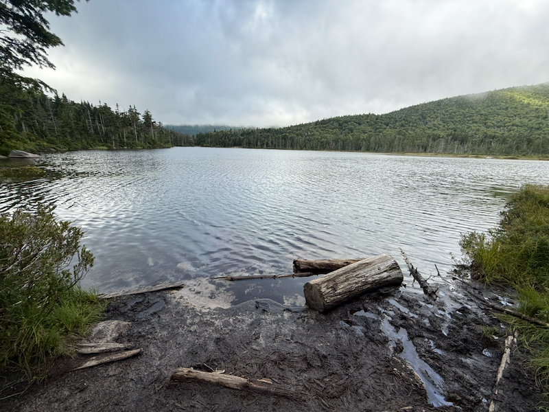 Lonesome Lake
At Lonesome Lake, Lonesome Lake Trail intersected with the Cascade Brook Trail, with the Fishin’ Jimmy Trail (AT) branching to the right and continuing past the AMC hut.
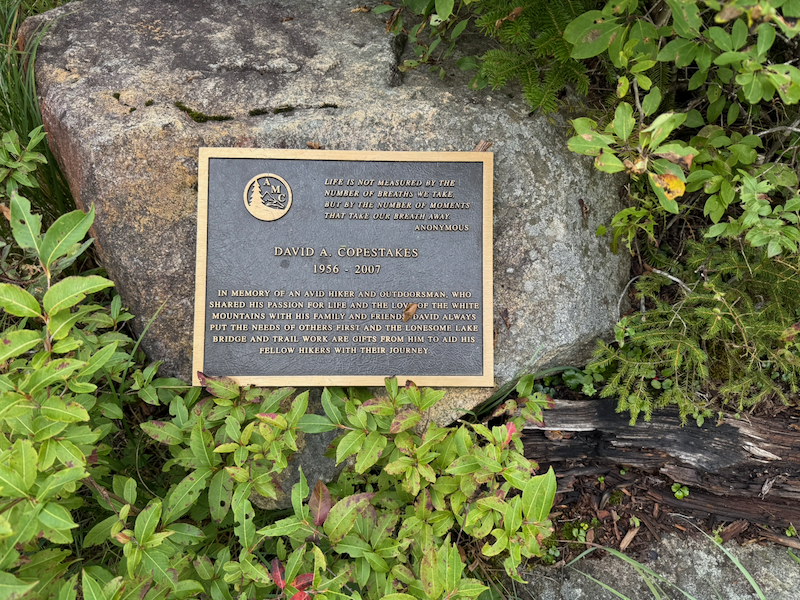 David A. Copestakes Memorial Plaque Near Lonesome Lake
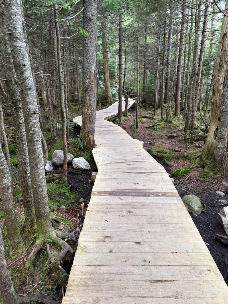 Boardwalk Near Lonesome Lake
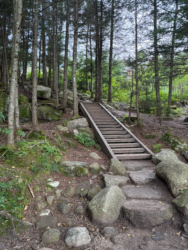 Trail Stairs to AMC Lonesome Lake Hut
I briefly went into the AMC hut to check it out, and there were four or five through-hikers relaxing inside. I was tempted by the tasty baked goods for sale, but I decided I should leave them for the through-hikers.
Descending from the hut, I followed the Fishin’ Jimmy Trail a short distance back to Lonesome Lake and the junction with the Cascade Brook Trail (AT), where I turned right to descend the Cascade Brook Trail towards the Pemigewasset River.
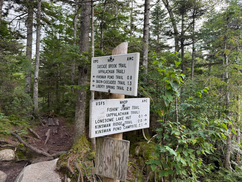 Junction of Fishin’ Jimmy Trail with Cascade Brook Trail
I followed the Cascade Brook Trail for about 2.8 miles, passing the junction to the Kinsman Pond Trail and crossing two streams.
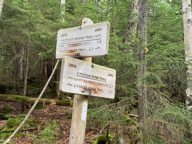 Junction of Cascade Brook Trail with Kinsman Pond Trail
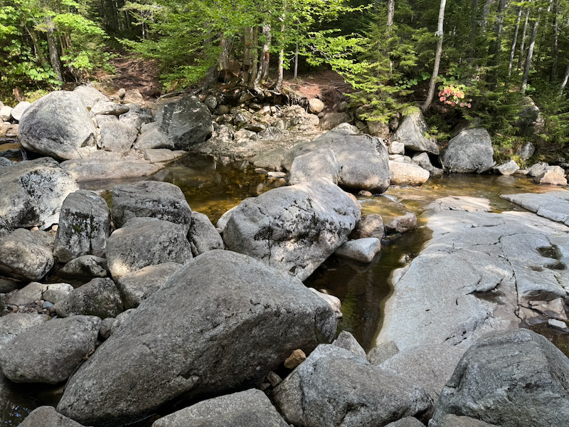 Stream Crossing
I continued on the Cascade Brook Trail under the I-93 bridges to the Franconia Notch Recreation Path. I went that way rather than branching left onto the Basin-Cascades Trail so I could walk as much of the AT as possible because I would someday like to hike sections of the AT. I turned left (north) onto the Franconia Notch Recreation Path (AT), crossing the Pemigewasset River over a graceful bridge.
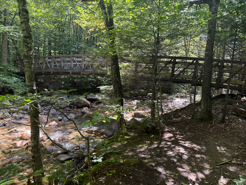 Recreation Path Bridge Over the Pemigewasset River
I continued north on the recreation path to the junction with the Libery Spring Trail (AT), which branched off to the right to climb to the top of Franconia Ridge. At this point, I was passed by a single through-hiker heading north bound on the AT.
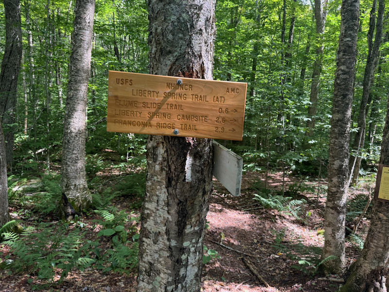 Liberty Spring Trailhead
I continued walking north on the Franconia Notch Recreation Path to The Basin of the Pemigewasset River. I explored The Basin and the nearby Baby Flume of the Pemigewasset River, walking all the little trails and taking a few photos, and I ate a snack.
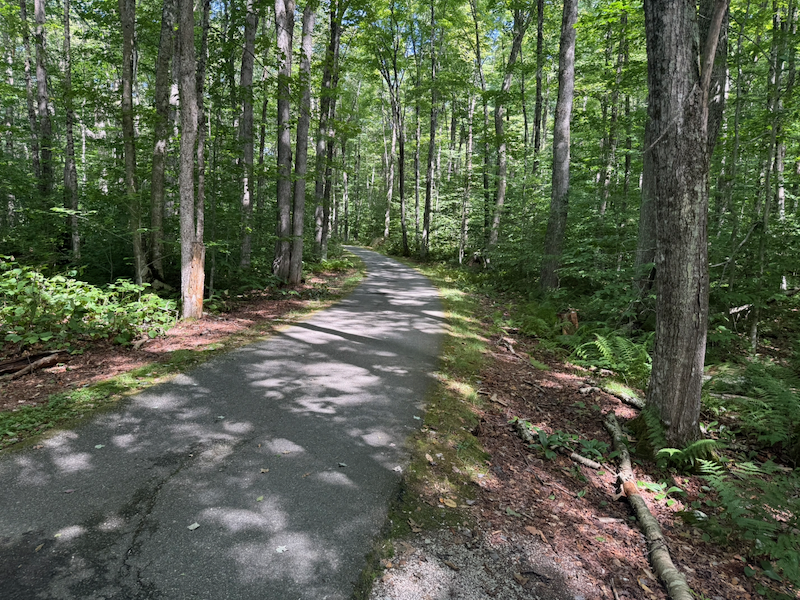 Franconia Notch Recreation Path
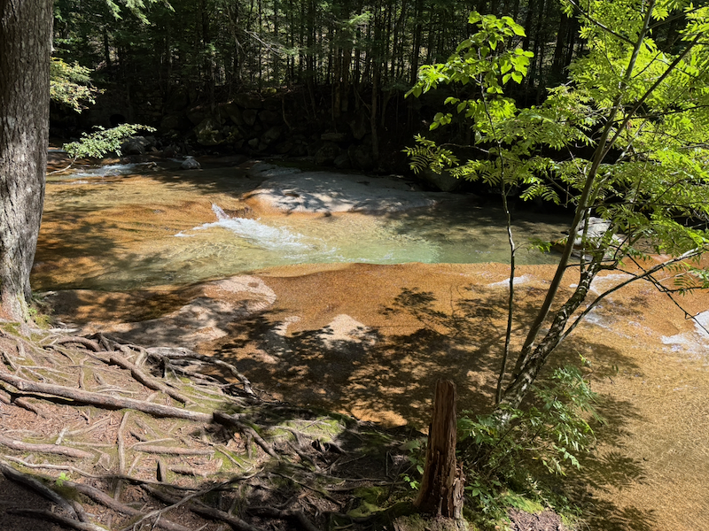 Baby Flume of the Pemigewasset River Near The Basin
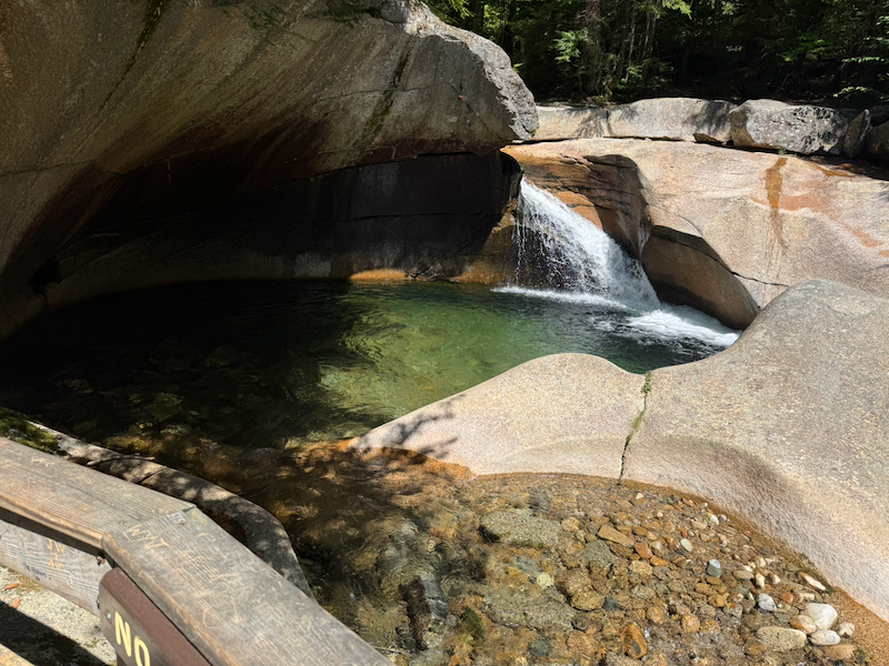 The Basin
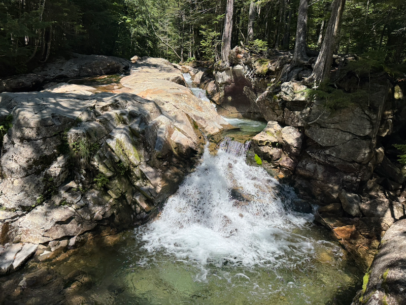 Pemigewasset River Near The Basin
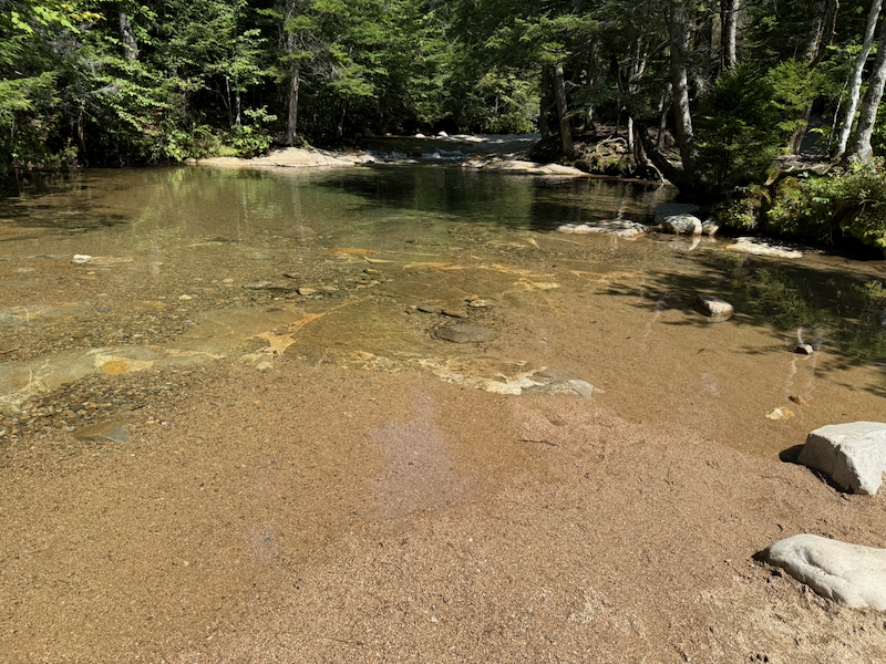 Pemigewasset River Upstream of The Basin
The Pemigewasset River has its source at Profile Lake in Franconia Notch and flows south into the Merrimac River in Massachusetts and thence to the Atlantic Ocean. The Saco River, which flows from its source at Saco Lake in Crawford Notch only a few miles to the east, and which I saw when visiting the AMC Highland Center on Monday and riding the Conway Scenic Railway on Tuesday, flows in a southeast direction into Maine and finally into the Atlantic Ocean north of the mouth of the Merrimac River.
Near The Basin, I found the junction of the Pemi Trail with the Basin-Cascade Trail. The Basin-Cascade Trail heads northwest up to join the Cascade Brook Trail (AT) that I had descended earlier in the day. The Pemi Trail runs along the Pemigewasset River, in the same direction as the Franconia Notch Recreation Trail.
 Junction of the Basin-Cascades and Pemi Trails
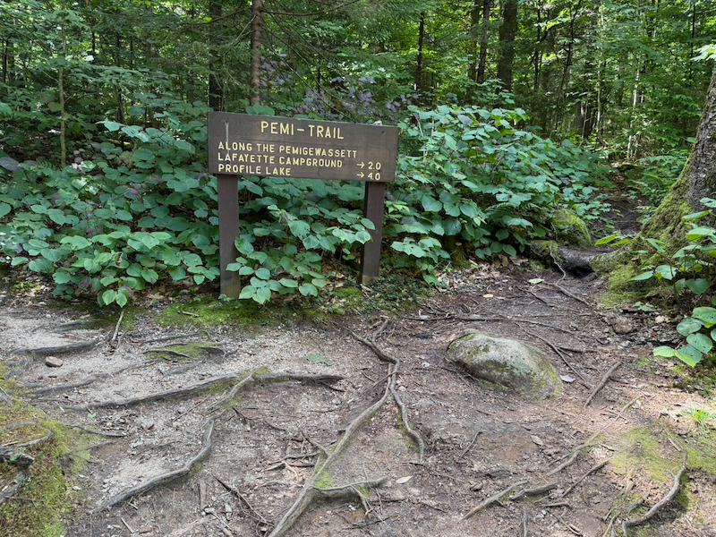 Pemi Trail Sign
I hiked two miles north on the Pemi Trail, which was a little overgrown, gaining about 300 feet in elevation, and I arrived at Lafayette Place Campground at 1:45 p.m. When I reached my campsite, I had hiked 8.53 miles in 5 hours 45 minutes.
Bicycle Ride in Franconia Notch
At 4:15 p.m., I left on my bicycle to ride north on the Franconia Notch Recreation Path.
I took my time to explore the Old Man of the Mountain Profile Plaza and Historic Site, the exterior of the nearby Old Man Museum (which had closed for the day before I arrived), the retired Aerial Tramway to the top of Cannon Mountain, and the nearby New England Ski Museum (also closed for the day).
I continued north around Profile Lake to a park with a swimming area and some RV campsites.
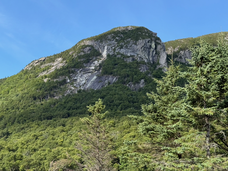 Cliffs Near Profile Lake
I returned to the recreation path and rode north to the end at Skookumchuck Trailhead, for a distance so far of 7.43 miles.
At this point, my Apple Watch had only 3% charge left and I turned it off. Don’t try to track too many activities in one day with an Apple Watch.
I discovered I had a strong cell signal, so I took advantage to do a little texting and download a star charts app. From Skookumchuck Trailhead, I rode south, returning to the campground, for 5.30 more miles, giving me a total of 12.93 miles for the ride.
I admired the landscaping in Franconia Notch State Park. The following three views sparked my imagination in which I visualized wide, nicely groomed roads devoted exclusively to non-motorized transportation such as bicycles with adjacent grassy fields for picnicking and camping. I imagine a network of such trails spanning North America.
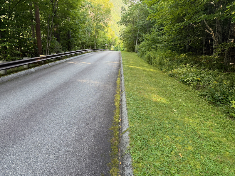 Nicely Maintained Entrance Road to the Old Man Museum
 Trees and Lawn Near the Old Man Museum
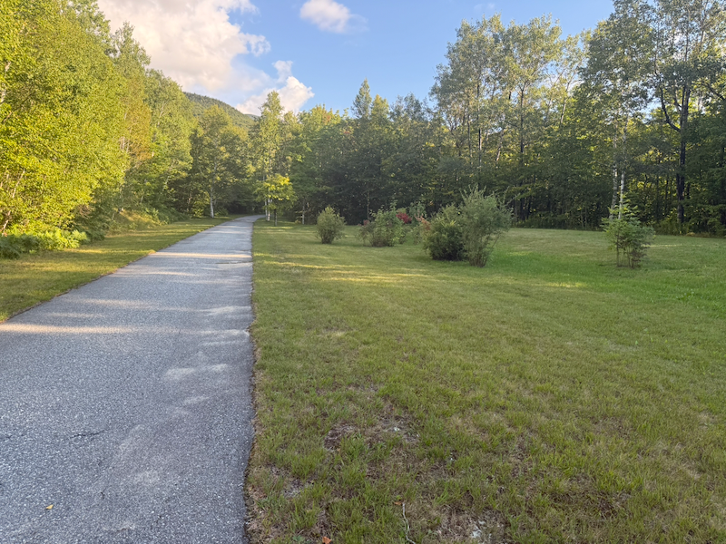 Grass and Shrubs Along the Recreation Path
Evening Camping Activities
I made a dinner of canned soup with crackers. After washing up, I was in my sleeping bag at about 7:30 p.m.
I did not drive today.
For the fifth day of this six-day camping trip, see White Mountains 2026, Day Five.