Camping: White Mountains 2026, Day Three
Today I rode the Conway Scenic Railroad, hiked a little, and bicycled in Franconia Notch State Park.
Tuesday, August 25, 2026, was the third of six days of camping at Lafayette Place Campground in Franconia Notch State Park in the White Mountains in New Hampshire. Today I drove the scenic Kancamagus Highway from Lincoln to Conway, rode the Conway Scenic Railroad, did a little walking in Crawford Notch, and bicycled on the Franconia Notch Recreation Path.
For the previous day of this six-day camping trip, see White Mountains 2026, Day Two.
Morning Campsite Activities
Once again, I had noisy neighbors as late as 1:30 a.m. (Enforcement of the noise rule is nil at this campground.) I was wearing my noise-canceling headphones, so I noticed only when I got up for a nature break and to look at the stars. As with the night before, the moon was low in the southeast, and I could see Cassiopeia, Cygnus, and Lyra.
I got up at 5:30 a.m., ate breakfast, and organized myself for the day.
Conway Scenic Railroad
I left the campground at 6:30 a.m. to drive east to the Conway Scenic Railroad in North Conway.
I drove south on I-93 and Route 3 to Lincoln, then east on the Kancamagus Highway from Lincoln to Conway, and north on U.S. 302 to the railroad station in North Conway. The Kancamagus highway was scenic and a nice drive early in the morning, but the early morning sunlight sometimes made it hard to see the road. I arrived at the train station very early at 7:50 a.m. for a train scheduled at 9:00 a.m.
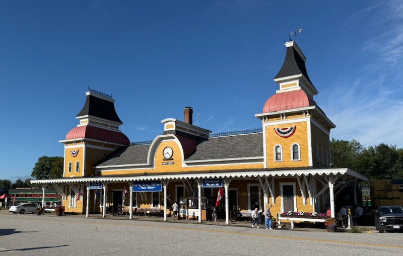 Conway Scenic Railroad Train Station
I walked around North Conway, which is touristy (it’s a big ski town in the winter). I picked up my ticket at 8:20 a.m. and boarded the train at about 8:45 a.m.
I paid extra to ride in the top of the dome car of the Mountaineer route. This description from the website is accurate:
Conway Scenic Railroad’s most scenic excursion, the Mountaineer evokes the elegance of 1950s American rail travel. This 4- to 4.5-hour round trip winds through New Hampshire’s breathtaking Crawford Notch, offering guests a condensed yet memorable experience of classic transcontinental train travel.
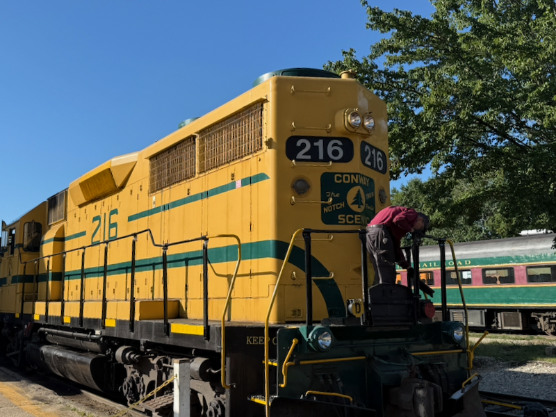 Diesel Engine
 Dome Car of the Conway Scenic Railroad
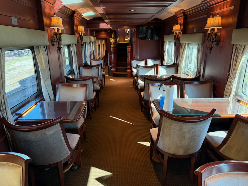 Dome Car’s Front Lower Interior
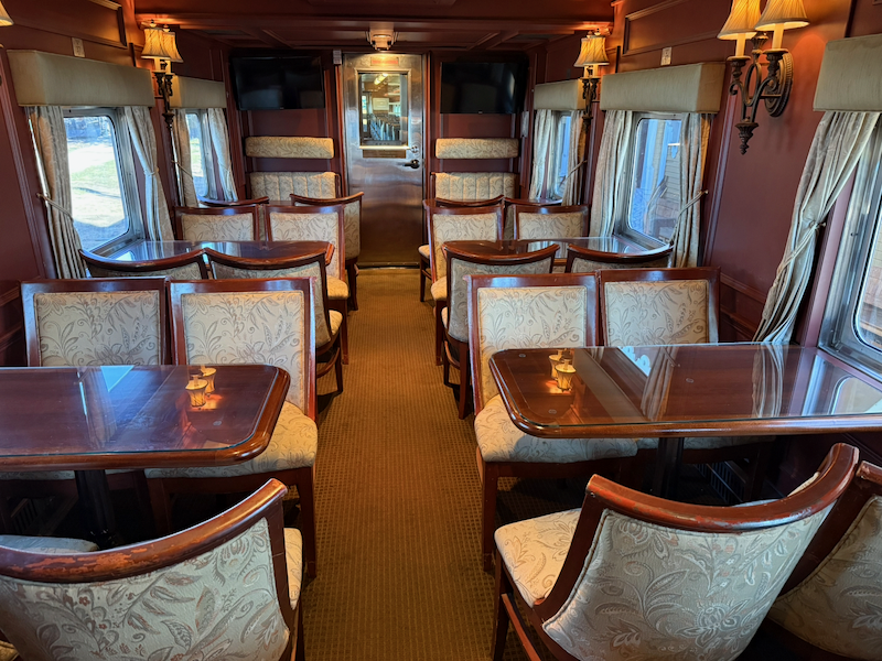 Dome Car’s Back Lower Interior
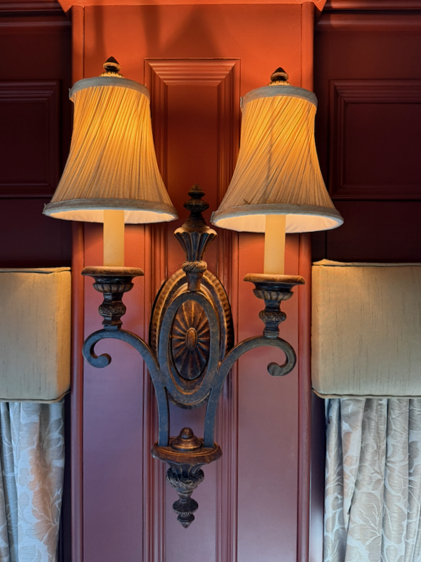 Dome Car’s Lighting
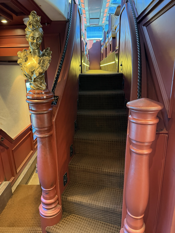 Stairs to Dome
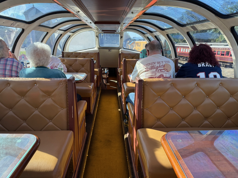 Dome Seating Area
The ride was slow, especially at the beginning where the cars rocked side to side on the old tracks. We were given a narration that I found interesting, but other passengers complained that the narrator’s tone of voice made them sleepy. The route was flanked by trees, and we traveled through green tunnels. We leared that in the early 1900s, New Hampshire was only 20% forested after the land had been cleared for farming, but now it is 80% forested.
The route followed the Saco River upstream into Crawford Notch. The mile posts along the tracks measure the distance from Portland, Maine. Whistle signs mark the route with a W, alerting the engineer to blow the whistle for a road crossing; the whistle pattern is long, long, short, long. I took a few photos during the ride, but they were spoiled by reflections from the glass of the dome.
After about 80 minutes, we arrived at Crawford Notch Depot adjacent to AMC Highland Center and Saco Lake in Crawford Notch.
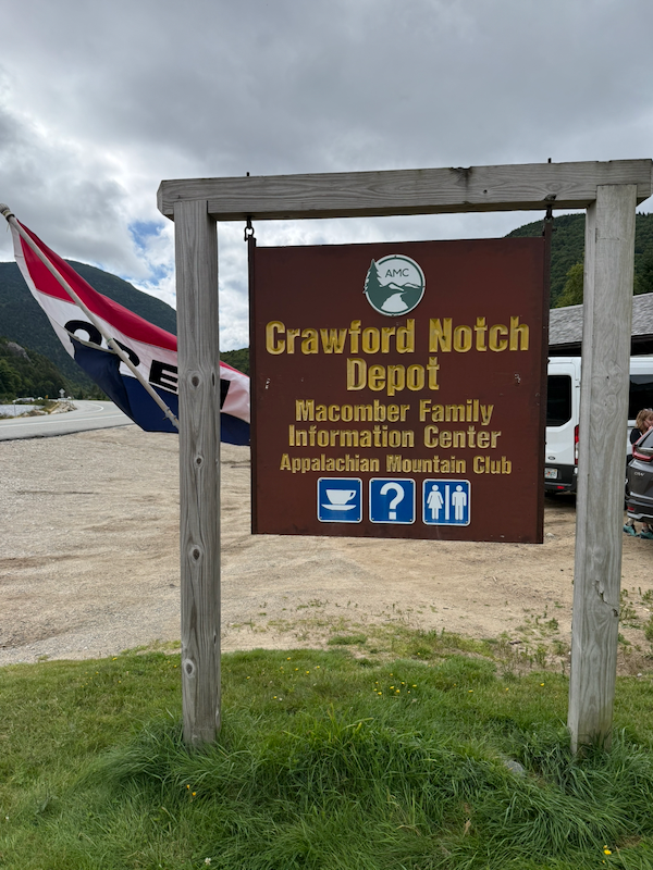 Crawford Notch Depot
We spent 50 minutes at Crawford Notch Depot, where the engineer moved the engine to the opposite end of the train for the return back.
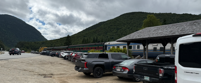 Train at Crawford Notch Depot
I walked over to Saco Lake and photographed flowers on the west side of the road.
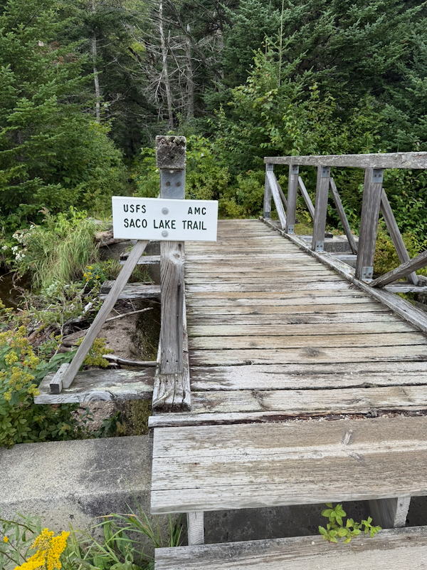 Saco Lake Trail
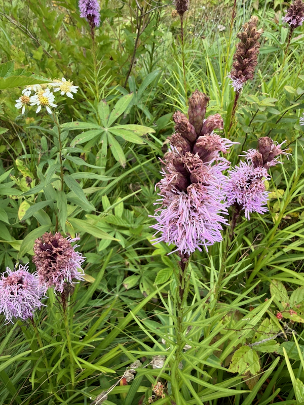 Wildflowers at Saco Lake
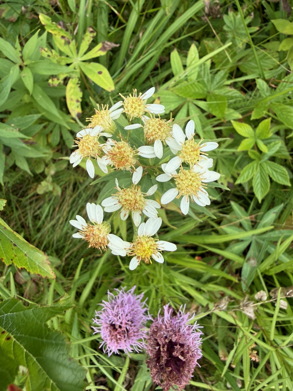 Wildflowers at Saco Lake
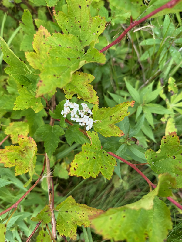 Wildflowers at Saco Lake
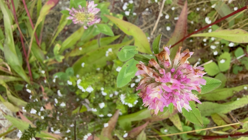 Wildflowers at Saco Lake
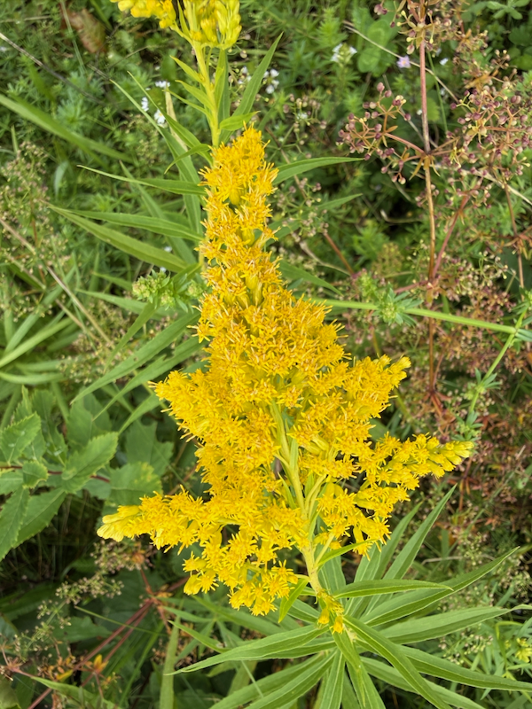 Wildflowers at Saco Lake
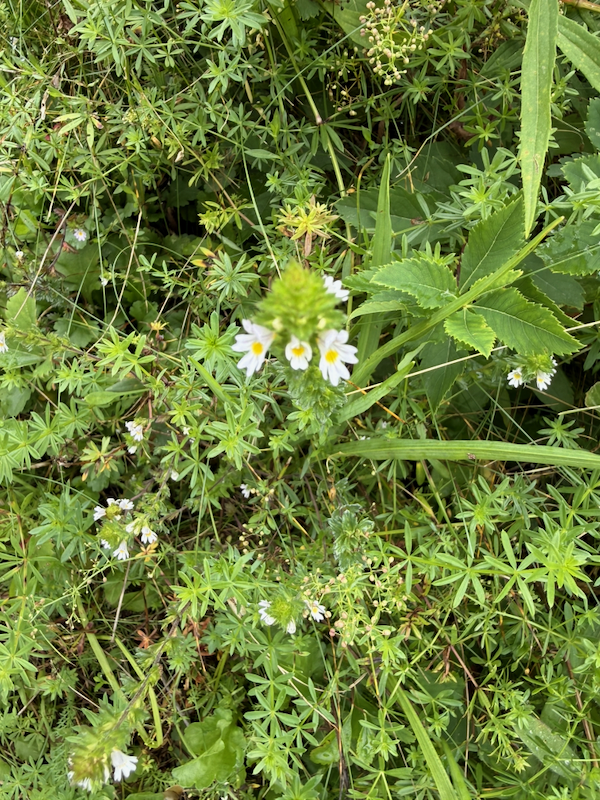 Wildflowers at Saco Lake
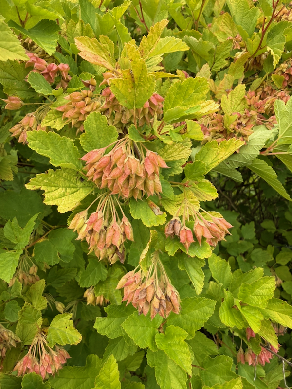 Wildflowers at Saco Lake
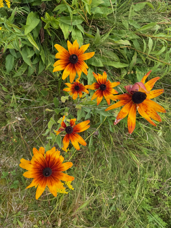 Wildflowers at Saco Lake
 Wildflowers at Saco Lake
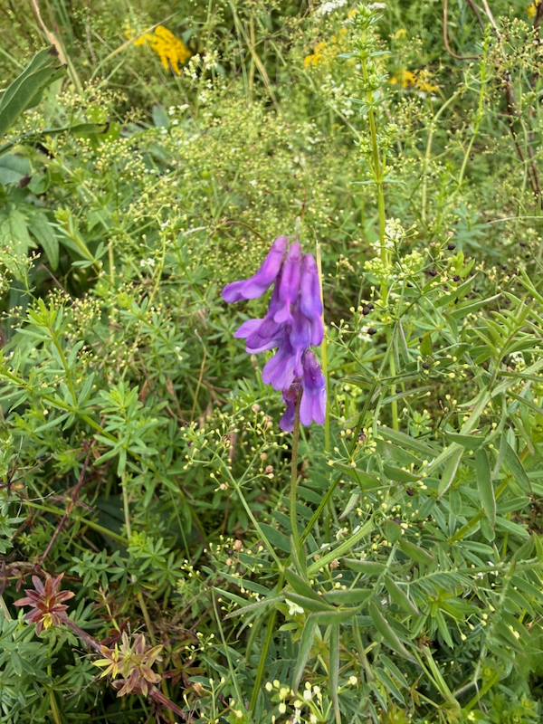 Wildflowers at Saco Lake
The skies were cloudy for the slow ride back to Conway. I watched the scenery, listened to conversations, and ate my lunch (a sandwich, whoopie pie, potato chips, and a bottle of water). We arrived back at North Conway at 12:53 p.m.
Exploring the Valley East of Mt. Washington
From North Conway, I drove north on State Route 16 east of Mt. Washington towards Gorham, following the Ellis River.
At 1:45 p.m., I stopped for half an hour at the Glen Ellis Scenic Area and walked to Glen Ellis Falls.
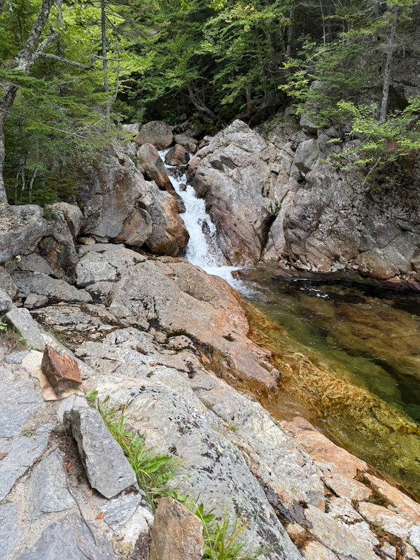 Ellis River
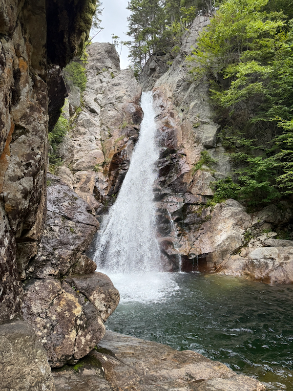 Glen Ellis Falls
I drove less than a mile north to the AMC Pinkham Notch Visitor Center, located on the Appalachian Trail. I walked south from the center to the Lost Pond Trailhead. The Lost Pond Trail passes just south of a beaver dam on the Ellis River; the dam creates a pond opposite the AMC center. I walked south on the trail to the northern end of Lost Pond.
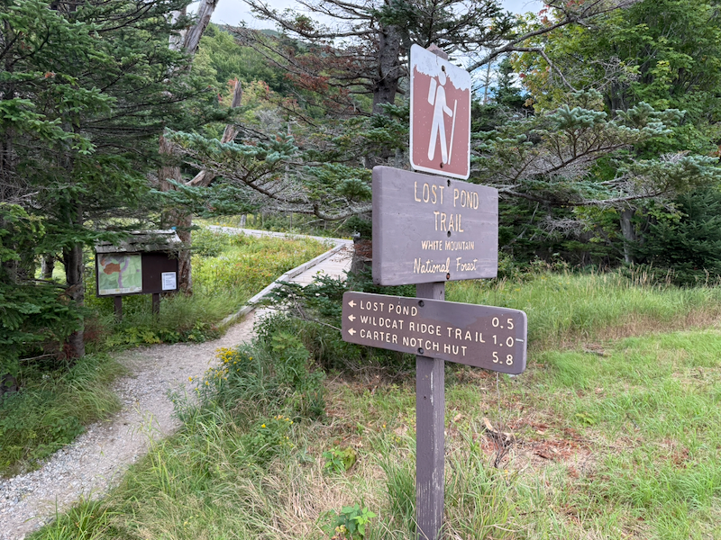 Lost Pond Trailhead
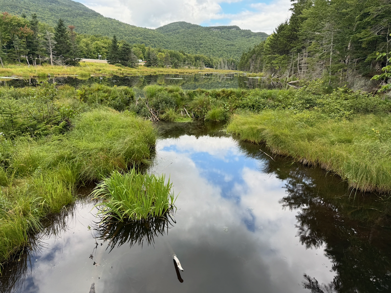 Beaver Dam on the Ellis River
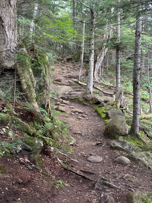 Lost Pond Trail
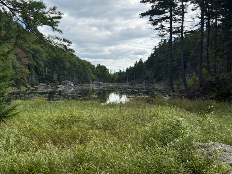 Lost Pond
Returning to the center, I went in and bought two more AMC maps of the White Mountains.
I drove to Gorham on Route 16, then west on U.S. Route 2. I found the trailhead of the Presidential Rail Trail a little west of Gorham. I plan to come back in 2027 and ride the entire rail trail.
I had a long drive back because I took U.S. Route 2 to State Route 115 to U.S. Route 3. But at the intersection with U.S. Route 302, I was confused by the signs, and I turned right onto U.S. Route 302 instead of continuing south on U.S. Route 3. This was the long way around to I-93, maybe ten extra miles.
Easy Bicycle Ride
At 5:55 p.m., I rode my bicycle on all of the campground loop roads, south for a short distance on the recreation path, east through the tunnel under I-93 to the trailhead and parking area, north for a short distance on the recreation path, and back to my campsite, for a total of 4.04 miles by my watch, returning at 6:30 p.m.
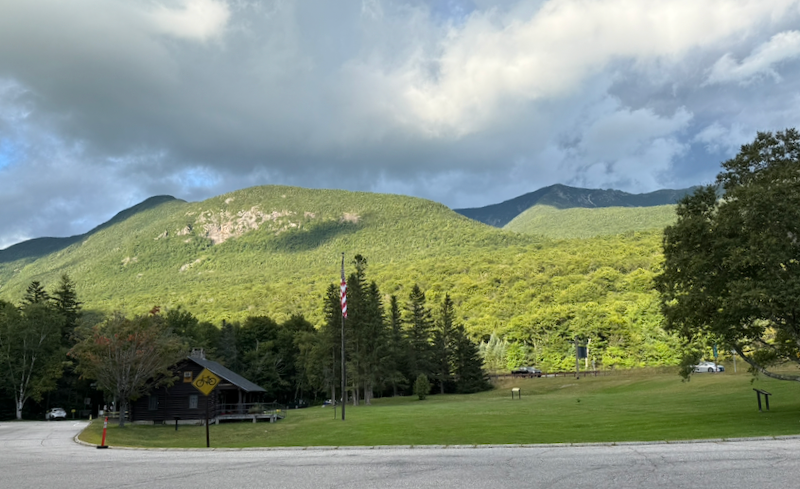 Looking East Toward Franconia Ridge from Lafayette Place Campground
Evening Camping Activities
I ate canned soup and tuna for dinner, after which I washed the cans for recycling. I brushed my teeth and cleaned my cooking pot. I was trying to keep any food smells away from my camp in case of bear activity. I walked around the campground loop roads. I organized my equipment. While driving during the day, I had used the car to charge my phone; I charged my other electronics using my energy banks. I studied the AMC maps I had bought today to figure out exactly where I had been. I went to bed at 8:30 p.m.
For the fourth day of this six-day camping trip, see White Mountains 2026, Day Four.